Hydrographic Surveys
Why undertake hydrographic surveys?
- Seabed bathymetry and digital terrain models (DTM) for navigation assessment
- Support dredging operations – pre and post surveys and volume calculations
- Determine sedimentation levels or thickness
- Seabed habitat mapping
- Geophysical survey to determine seabed sub-structure and composition
- Seabed sampling and geotechnical analysis
What are the benefits?
- Determine seabed form and terrain
- Identify seabed type, features, objects, debris and object detection
- Determination of sediment thickness
- Shallow geophysical analysis – 0 to 10m below seabed
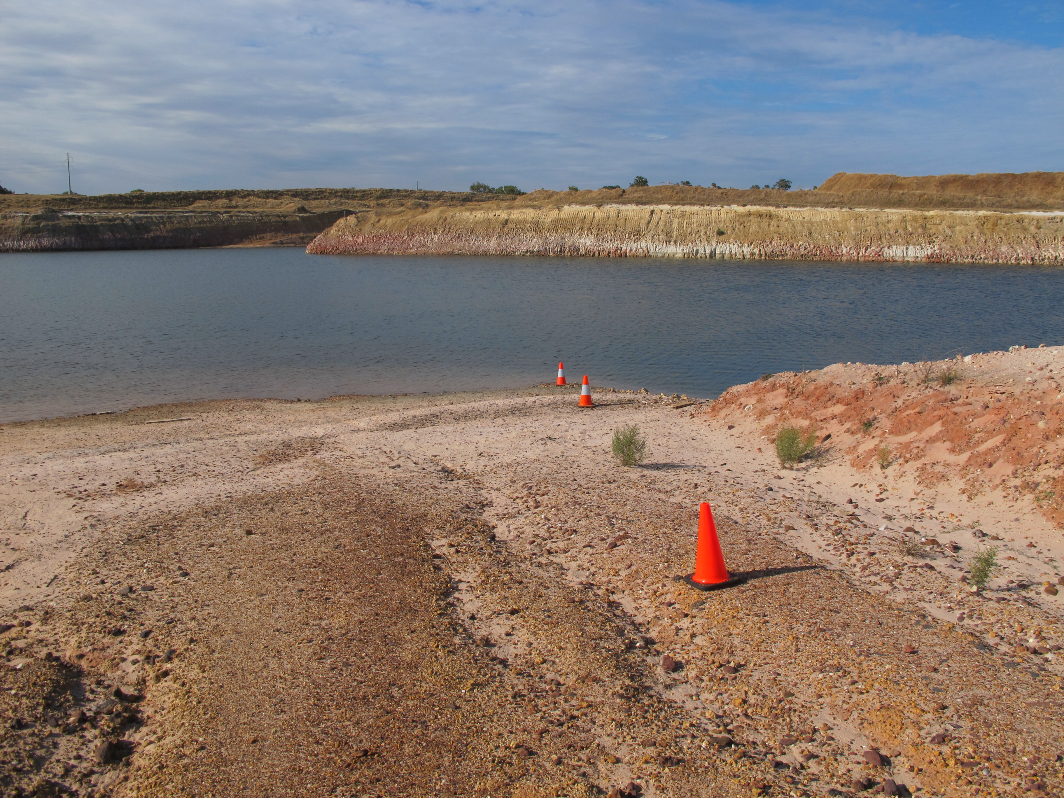
Where could I apply hydrographic services?
- Dams
- Rivers
- Ports and harbours
- Mine workings & infrastructure
- Marine environmental and benthic surveys
- Support marine construction activities - pipelaying, beach pull landings etc
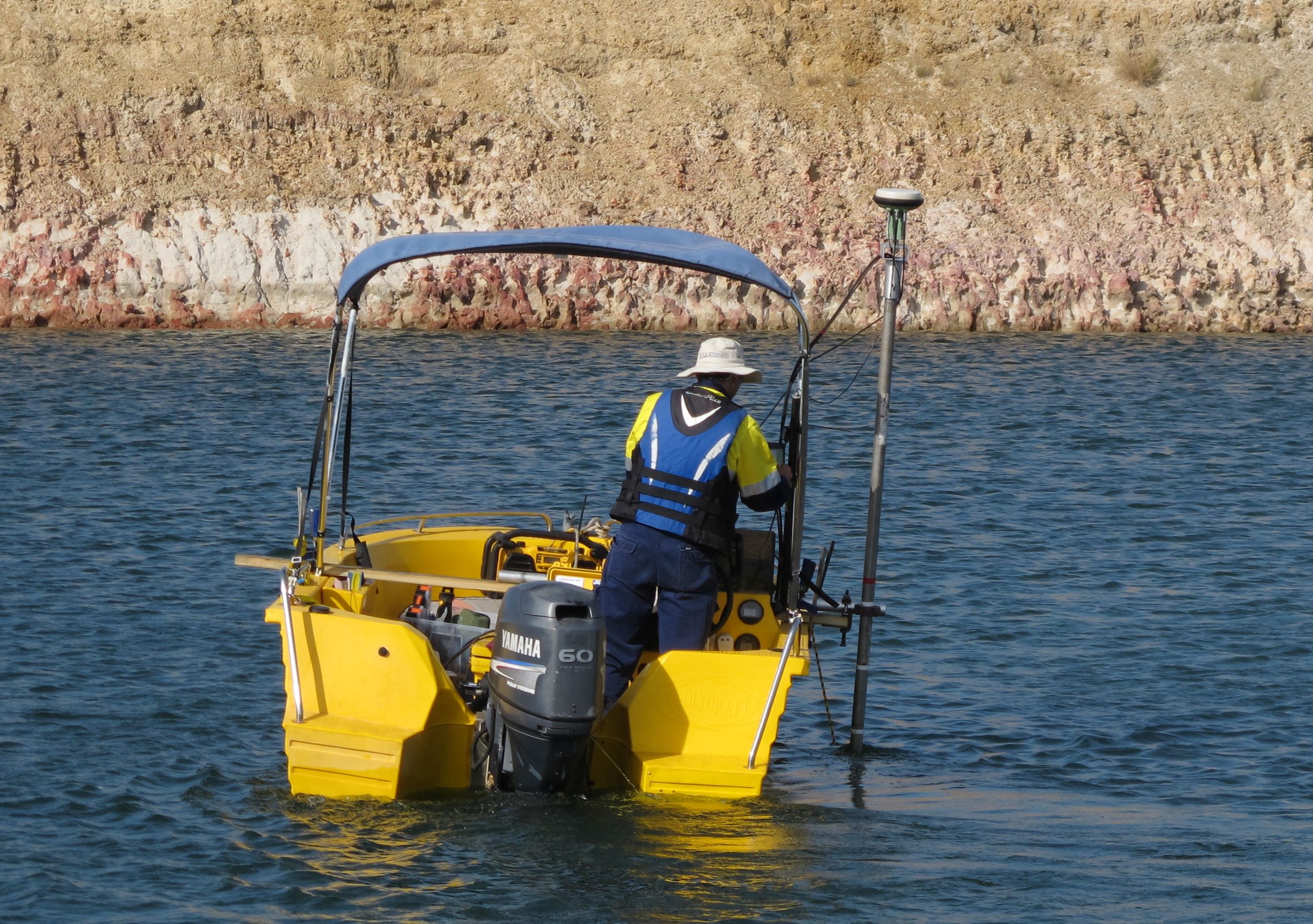
What survey systems and solutions do we provide?
- Single beam echo sounders (SBES) - single and dual frequency
- Multibeam echo sounders (MBES)
- Attitude and heading reference systems (AHRS)
- Tide gauges
- Sound speed sensors and probes
- Side scan sonars
- Sub-bottom profilers
- Real-time data acquisition systems – software and hardware
- Laser scanners
- Drop and piston corers
- CPT
Why so many platforms?
Land Surveys has access to a range of hydrographic survey sensors, platforms and state of the art technology and software, enabling us to deliver a unique, tailored data solution to your specific needs. Survey systems are selected based on scope of work, water depth, operating frequency, range from shore, accuracy requirements, seabed conditions and size of vessel.
See some of our recent Hydrographic projects.
Why use Land Surveys?
A tailored solution
All hydrographic projects start with the end in mind, and we will guide you through the options for survey, mapping, GIS and visualisation deliverables, and advise on the best approach to meet your projects quality, accuracy, time and cost goals.
A complete solution
Our hydrographic surveyors are all qualified surveyors, making Land Surveys your complete solution for project planning, data acquisition, processing and reporting.
A reliable solution
Land Surveys are early adopters of the latest, proven technology, we have tried and tested work flows, allowing our surveyors to work smarter and more efficiently.